Programs and projects
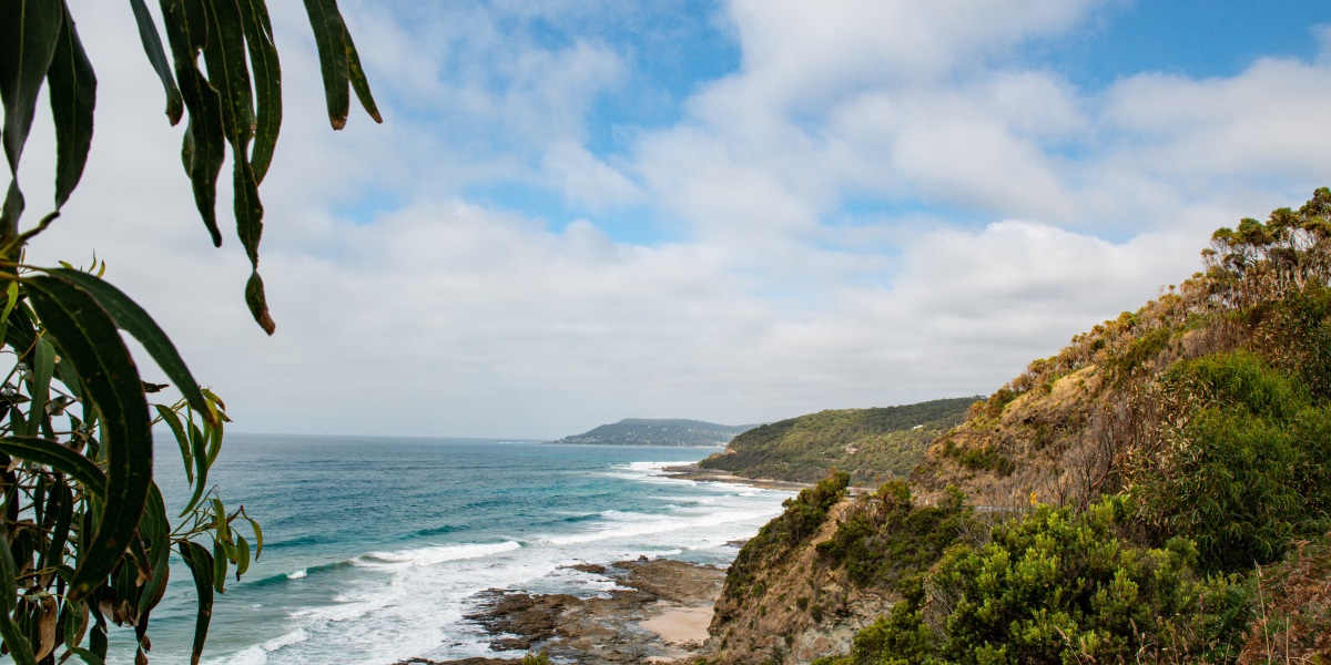
Coastal Vegetation Strategy (CVS)
The Coastal Vegetation Strategy (CVS) leads our conservation work and provides technical guidance to improve conservation outcomes along the coastal land the Authority manages between Point Impossible, near Torquay, to Marengo.
The third edition of the strategy is a five-year action plan fundamental to improving the health of Crown land reserves, covering around 1,090 hectares, and supports significant landscapes such as sandy beaches, dune systems, cliffs, heathlands, shore platforms and estuaries.
The CVS was developed with support from the Wadawurrung Traditional Owner Aboriginal Corporation and Eastern Maar Aboriginal Corporation, and we will continue to engage with each of these groups in the delivery of actions outlined in the plans.
Vegetation monitoring
Our Conservation Team regularly monitor the health and quality of native vegetation along the coast by making quarterly assessments in accordance with the Native Vegetation and Weed Action Plan.
To effectively monitor native vegetation, it is important to know the type of flora, its extent or presence and its overall condition. Our team monitors vegetation through a range of techniques, with the most common method utilised being a transect line.
A transect line is a string or rope that is placed on the ground. The number of organisms or plants it touches are observed and recorded at regular intervals along the transect. This provides a snapshot of the overall vegetation health in the area and an insight into the type of diversity present.
Motion sensor camera monitoring
Our team has been conducting wildlife monitoring using motion sensing cameras since 2015. These cameras detect the movement of animals and capture an image as they pass in front of the camera.
We use these cameras between Spring and Autumn to assess the presence of native and pest animals in the area. This helps to quantify the fauna in the area and allows us to implement pest reduction resources in a strategic way.
Previously, our main conservation efforts have focused on weed removal and pest eradication. The motion sensor camera monitoring allows a visual representation of the revegetation works the team has been undertaking.
Recently, we have used motion sensor cameras to monitor Hooded Plover nests for threats and disturbance. The imagery captured has helped us to better understand the difficulties the birds face daily.
Hooded Plover monitoring
Australia's Hooded Plover program is critical to the survival of the species, not only raising awareness of the plight of this vulnerable beach-nesting shorebird, but also connecting people with broader issues the ecosystems that sustain them are facing.
Our Conservation Team works alongside volunteers to monitor and track Hooded Plovers (aka ‘Hoodies’) as they breed, installing signs and fencing to protect them from threats.
Our team regularly patrol known breeding zones to ensure people obey signage, particularly in relation to dog laws.
Breeding season is generally between September and March each year – during this time we record data relating to the Hoodie nests, eggs, chicks and fledglings for BirdLife Australia.